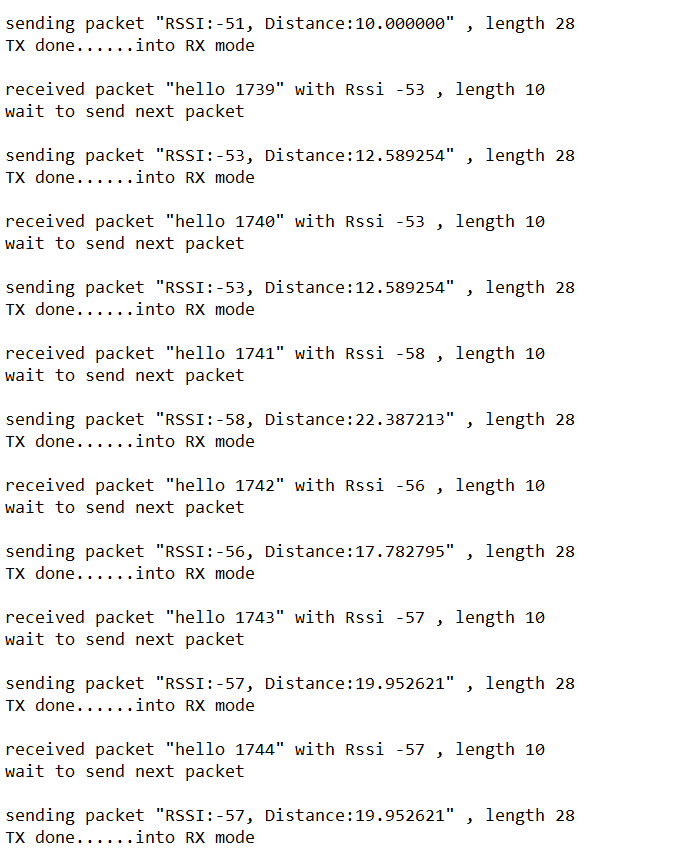
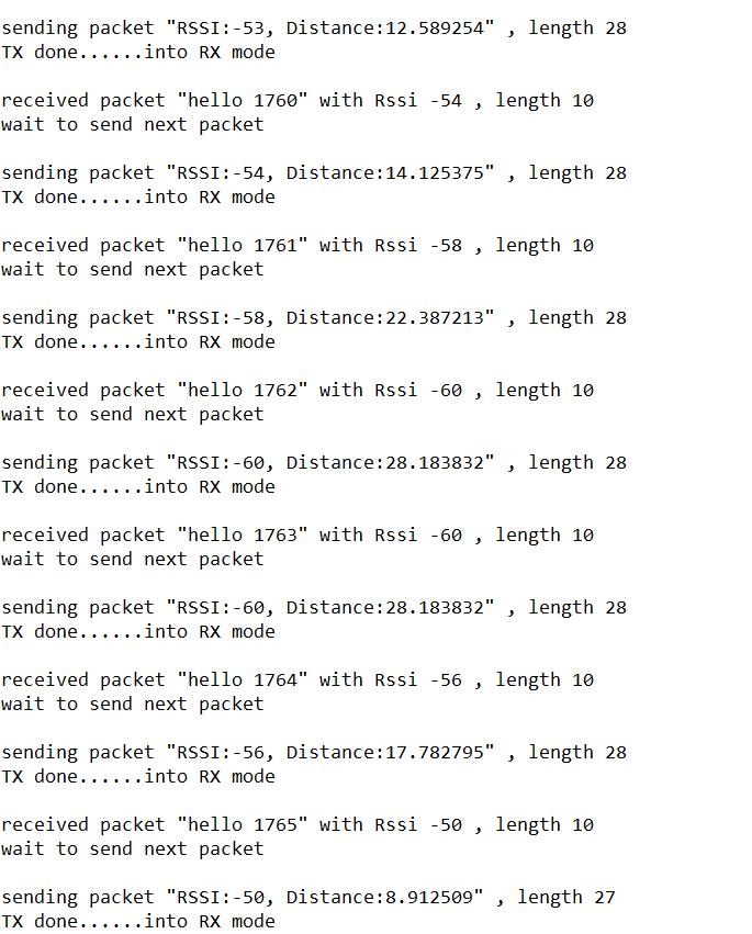
Quite generally, RSSI is a very poor indicator of distance.
While the RSSI will decrease when the distance increases, there are many other factors which have an influence on RSSI, including alignement of the antennas, obstacles in the line of sight or even in the Fresnel zone, multi path, atmospheric conditions, etc.
In real life conditions it's virtually impossible to get a consistent RSSI reading. Even with non-moving objects RSSI will change quite a bit from one measurement to the other, and with moving objects all bets are off.
So while a given distance will give an upper bound for RSSI (provided you have calibrated everything of course), a given RSSI value will not easily be converted to a specific distance.
This is not specific to LoRa, the same applies to other wireless technologies such as BLE or Wi-Fi. Remember that Apple for instance, when dealing with iBeacons, will only give you very vague estimate: "immediate", "near" or "far", they will never commit to anything more precise, and for good reason.
You can usually get better results with time-based measurements (e.g. TDOA).
Of course, for geolocation you usually need multiple reference stations, and the more you have the better the accuracy you can get, but still, don't expect wonders.
This document says that with LoRa RSSI you get can an accurate of 1 to 2 km (!) and with LoRa TDOA you can get down to 20-200 m. No idea if that's a good estimate or not, but that gives you an idea of what to expect, though this will vary a lot with the conditions involved (especially whether you can clear line of sight, including in the Fresnel zone, at all times, and the type of antennas involved).
What are the distances involved? Are you sure LoRa is the best option in your case?

